Marine
Weather for Coastal Waters Forecast from
Fenwick Island
Delaware, Ocean City Maryland, to Chincoteague
Virginia |
|
|
|
|
|
COASTAL SYNOPSIS:
. Strong high pressure remains northeast of the region through the rest of the week. A backdoor cold front will continue to linger over the area, with light winds and occasional marine fog concerns through the weekend.
|
OFFSHORE SYNOPSIS:
FOR MID ATLC WATERS...High pressure will persist just E of the central and S waters today into Sun, then shift E Sun night while maintaining a ridge W across the S waters through Tue night. Low pressure will track E along a stationary front over the N waters today, then move E of the area tonight and Sat. A cold front will approach from the NW Sat night, then move offshore Sun. The front will slow and stall over the central waters Sun night into Tue, then lift back to the N Tue night.
|
|
|
|
|
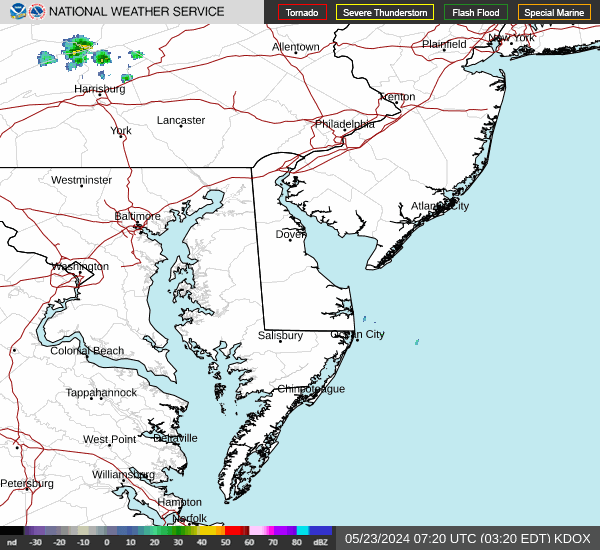
https://radar.weather.gov/ridge/lite/KDOX_0.gif
OFFSHORE FORECAST
-070215-
934 AM EST Fri Mar 6 2026
.SYNOPSIS FOR MID ATLC WATERS...High pressure will persist just E of the central and S waters today into Sun, then shift E Sun night while maintaining a ridge W across the S waters through Tue night. Low pressure will track E along a stationary front over the N waters today, then move E of the area tonight and Sat. A cold front will approach from the NW Sat night, then move offshore Sun. The front will slow and stall over the central waters Sun night into Tue, then lift back to the N Tue night. ANZ825-070215- Baltimore Canyon to Cape Charles Light to 100 NM offshore-
934 AM EST Fri Mar 6 2026
TODAY W winds 5 to 15 kt, becoming NE. Seas 3 to 5 ft. Areas of fog. Chance of rain. Vsby 1 NM or less.
TONIGHT E winds 10 to 15 kt, diminishing to 5 to 10 kt. Seas 4 to 6 ft. Chance of showers with vsby 1 nm or less.
SAT S to SE winds 5 to 10 kt, becoming S 10 to 20 kt. Seas 4 to 5 ft. Areas of fog with vsby 1 nm or less.
SAT NIGHT S to SW winds 20 to 25 kt. Seas 5 to 7 ft. Chance of showers with vsby 1 nm or less.
SUN SW winds 15 to 25 kt. Seas 4 to 7 ft.
SUN NIGHT W to SW winds 10 to 20 kt, becoming variable less than 10 kt. Seas 3 to 6 ft.
MON Variable winds less than 5 kt, becoming SW. Seas 3 to 5 ft.
MON NIGHT S winds 5 to 10 kt, becoming SW 10 to 15 kt. Seas 3 to 5 ft.
TUE SW winds 5 to 10 kt, becoming S 10 to 15 kt. Seas 3 to 5 ft.
TUE NIGHT S to SW winds 10 to 15 kt. Seas 3 to 5 ft.
|
-070715
Coastal waters from Fenwick Island DE to Chincoteague VA out
20 nm
125 PM EST Fri Mar 6 2026
DENSE FOG ADVISORY IN EFFECT UNTIL 7 PM EST THIS EVENING
THIS AFTERNOON
NE winds 10 kt. Seas 3 to 4 ft, occasionally to
6 ft. Wave Detail: SE 3 ft at 11 seconds and NE 2 ft at
5 seconds. Areas of dense fog early, then patchy fog late. Vsby
1 NM or less, increasing to 1 to 3 NM late.
TONIGHT
E winds 5 to 10 kt. Seas 3 to 4 ft, occasionally to
6 ft. Wave Detail: NE 3 ft at 7 seconds and SE 3 ft at
10 seconds. Areas of dense fog. A chance of showers late. Vsby
1 NM or less.
SAT
SE winds 5 to 10 kt, becoming S 10 to 15 kt with gusts up
to 20 kt in the afternoon. Seas 3 to 4 ft, occasionally to 6 ft.
Wave Detail: NE 3 ft at 7 seconds and SE 3 ft at 10 seconds.
Areas of dense fog. Vsby 1 NM or less.
SAT NIGHT
SW winds 15 to 20 kt with gusts up to 25 kt. Seas
5 to 6 ft, occasionally to 9 ft. Wave Detail: S 5 ft at 6 seconds
and E 3 ft at 9 seconds. A chance of showers after midnight.
SUN
SW winds 15 to 20 kt, diminishing to 10 to 15 kt in the
afternoon. Seas 4 to 5 ft, occasionally to 7 ft. Wave Detail: S
5 ft at 6 seconds and E 2 ft at 9 seconds. A chance of showers in
the morning, then showers likely in the afternoon.
SUN NIGHT
SW winds 5 to 10 kt, becoming S after midnight. Seas
3 to 4 ft, occasionally to 6 ft. Wave Detail: S 3 ft at 6 seconds
and E 2 ft at 10 seconds. A chance of showers in the evening.
MON
S winds 5 kt. Seas around 3 ft.
MON NIGHT
S winds 5 to 10 kt. Seas 2 to 3 ft.
TUE
SW winds 5 kt, becoming S in the afternoon. Seas around
2 ft.
TUE NIGHT
S winds 10 to 15 kt. Seas 2 to 3 ft. A chance of
showers in the evening.
|
|
|